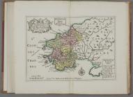
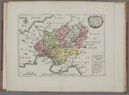
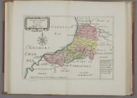
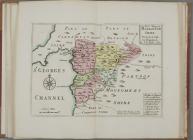
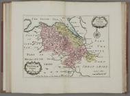
Thomas Taylor's Counties of Wales Map, 1718
This small county atlas, produced by the London book, map and print seller Thomas Taylor [fl.1670-1730], appears to be the first published atlas relating entirely to Wales. It contains 10 colour maps of the counties of Wales.